The Case for Climate-Resilient Infrastructure
Sourced from the Columbia Climate School
The June heat waves that roiled the U.S. put tremendous pressure on the electric grid as air conditioning demand soared, resulting in rolling blackouts and power outages. Heavy rains in Midwestern states caused severe flooding that washed out a bridge and almost destroyed a Minnesota dam. Earlier in the month, rising temperatures caused the collapse of a major road between Idaho and Wyoming when runoff from melting mountain snowpacks triggered a landslide. And over 100,000 Houston-area residents are still without power, in dangerous heat conditions, a week after Hurricane Beryl touched down in Texas.
Climate change is making weather harder to predict, and creating new risks in places that never faced them before. And as hurricanes, floods, extreme heat and wildfires intensify, most infrastructure will need to be retrofitted or designed and built anew for future climate resilience.
Climate-resilient infrastructure is infrastructure that is planned, designed, built and operated with changing climate impacts in mind. Resilient infrastructure must not only withstand climate impacts, but also be able to recover quickly after disruptions. As an associate director at ARUP, a global sustainable development company, put it: “You need to prepare to be surprised.”
How climate change impacts infrastructure
Worsening impacts from climate change are taking a toll on infrastructure and communities in many ways.
Heavy precipitation and floods
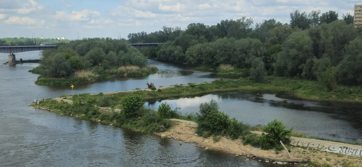
As temperatures rise, heavy precipitation events are expected to become more frequent and intense. Downpours, storms and sea-level rise are already resulting in more coastal flooding and erosion. Intense storms and floods damage infrastructure such as homes, bridges, roads, buildings and the energy system. They also disrupt operations at airports, ports and power plants. Storms can cause rivers to overflow and flood riverine communities. According to FEMA, the areas of the U.S. at risk of flooding will increase 45% by 2100, and annual damages from flooding are predicted to increase by 30%.
A case in point: The Fourth Regional Plan, a development plan for the New York tri-state area, asserts that nearly 60% of the power-generating capacity (in other words, power plants), 21% of public housing units, 40% of wastewater treatment plants, 115 rail stations, and many miles of subway and commuter rail routes in the New York tri-state area will be at risk of flooding by 2050.
From the Living Architecture Monitor