New IU Tool Maps Green Infrastructure in Hoosier Communities
Sourced from Indiana Environmental Reporter
A new tool allows Hoosier communities to plan for climate change impacts by showing where crucial green infrastructure exists and where it is needed.
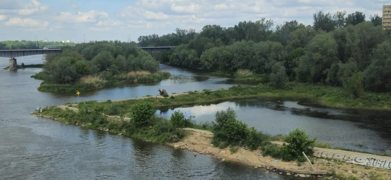
Using data collected from a range of sources throughout Indiana, the Indiana Green City Mapper shows the location of six types of green infrastructure, important natural defenses for combatting climate change impacts like flooding and rising temperatures, and other climate change-related data.
The tool was created by Indiana University Environmental Resilience Institute’s Urban Green Infrastructure Working Group to create a central hub that pulls together useful data for city planners and the public, much like other programs in cities like Los Angeles and Boston.
“Around the world, cities and communities in general are strategically incorporating green spaces into their environments because the benefits are so profound and measurable,” said Heather Reynolds, associate professor of biology at IU and project co-lead. “Cities have all kinds of inventories, but they aren't always digitized and often are separated in different departments. So, we wanted an accessible web-based platform that would be a hub that would bring it all together so that people could use it as a planning tool.”
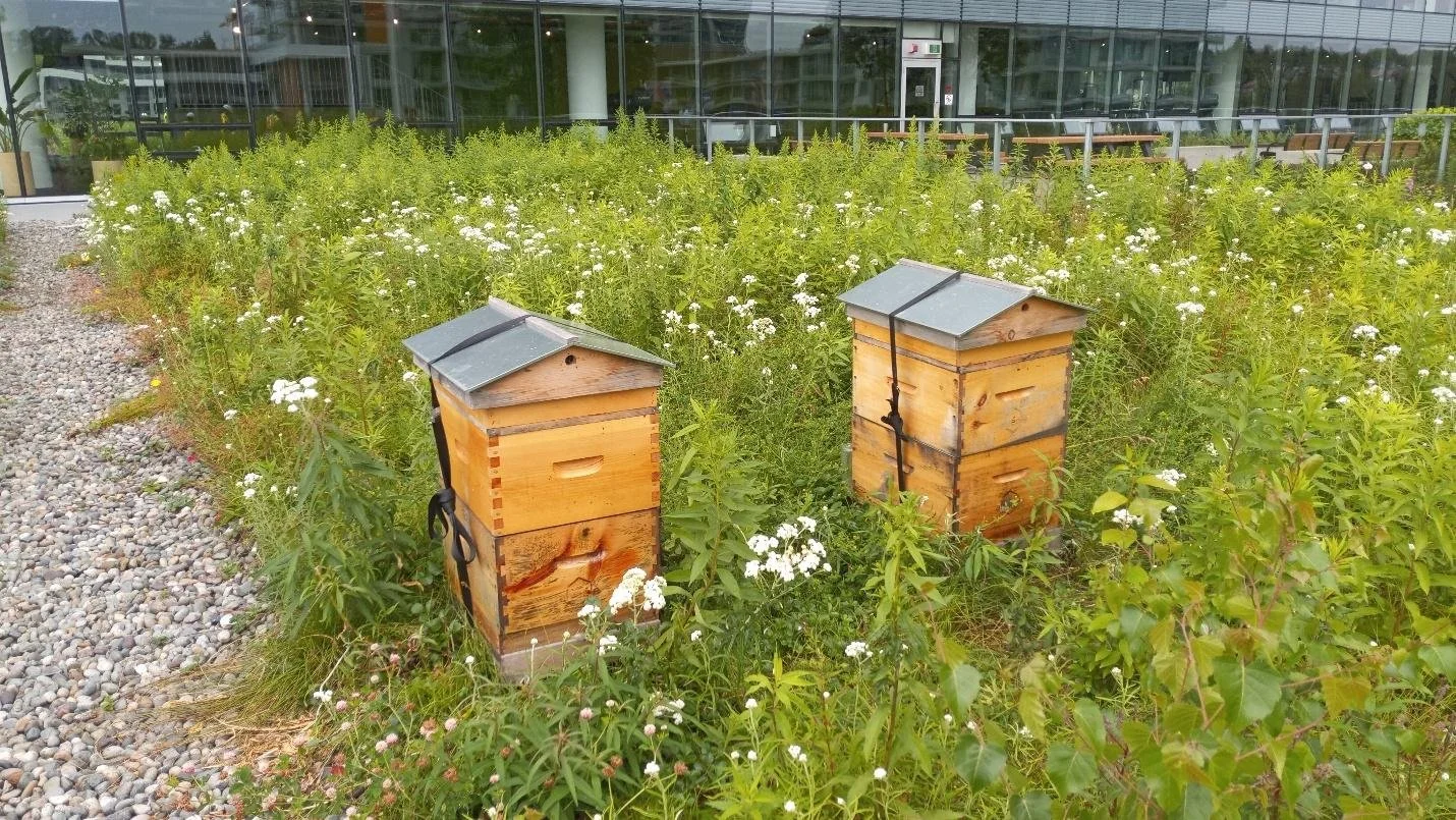
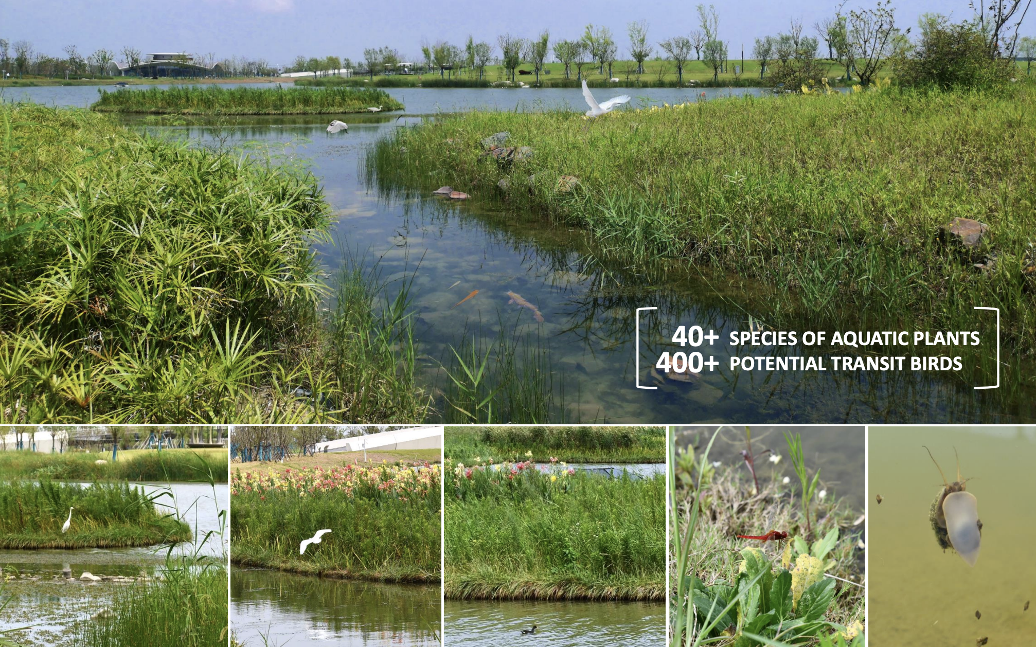
The map charts urban forests, green roofs, parks, greenways and trails, food gardens and green stormwater infrastructure, and all green infrastructure that is pleasant to the eye and provides important biophysical benefits like stormwater management, carbon sequestration and the absorption of toxic pollutants.
From the Living Architecture Academy